Chesbro1.jpg
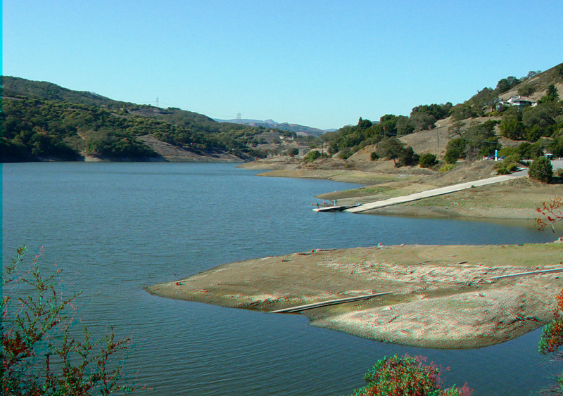
This view is from the dam looking west along the shore of Chesbro Reservoir. The boat dock is on the right.
Chesbro2.jpg
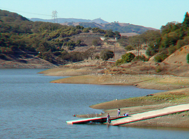
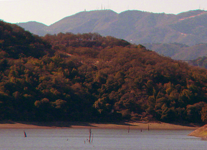
Chesbro Reservoir boat dock with the slopes of Loma Prieta Peak in the distance
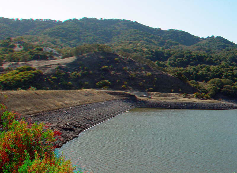
Chesbro Dam
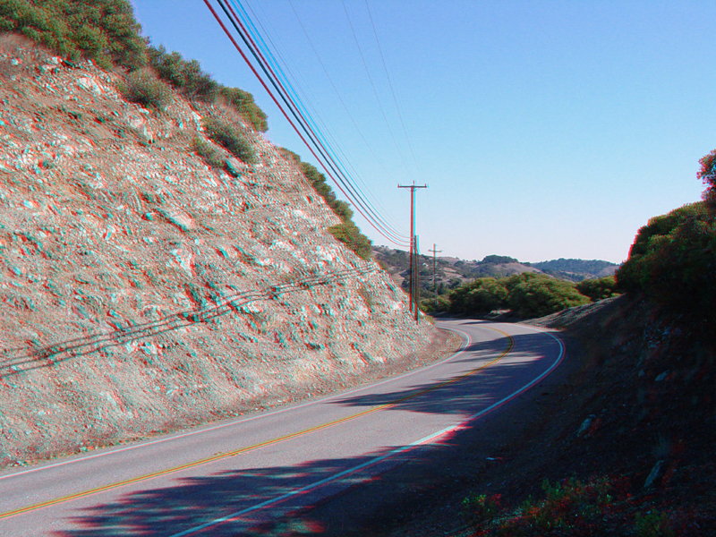
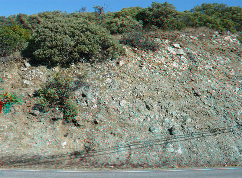
Serpentinite outcrops along the road next to Chesbro Reservoir
Chesbro5.jpg
Serpentinite outcrops along the road next to Chesbro Reservoir.
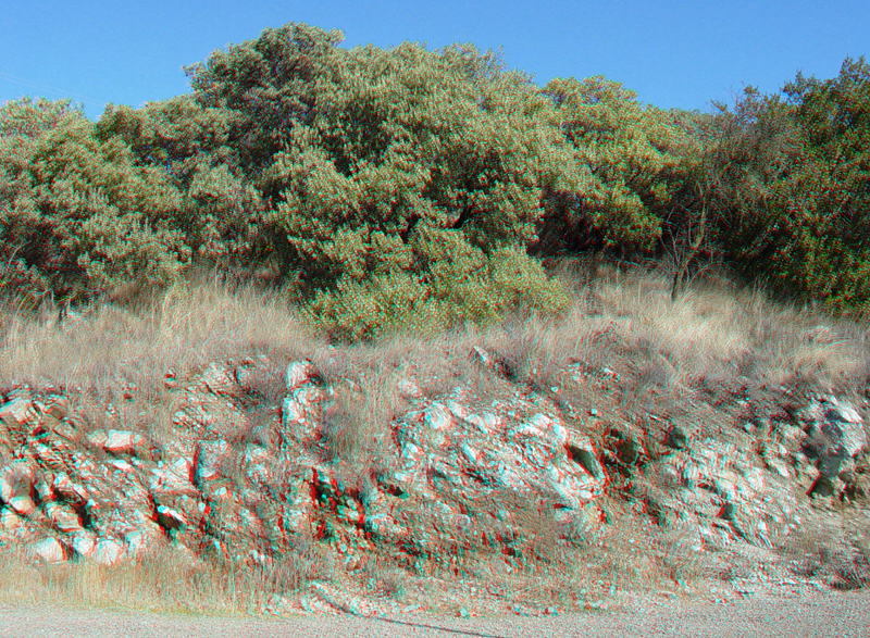
Manzanita is a sepentinite soil-loving plant. This serpentinite outcrop is on the north side of Chesbro Dam.
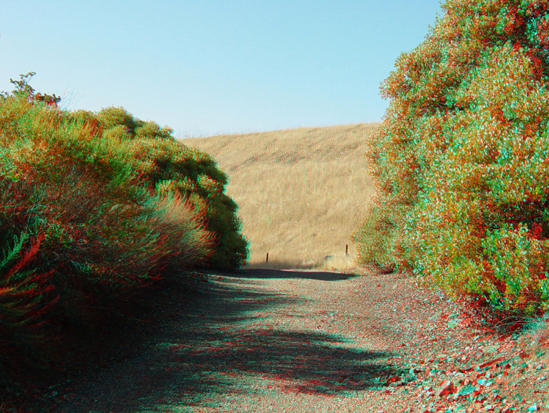
The trail below Chesbro Dam passes through a hillside covered with manzanita.
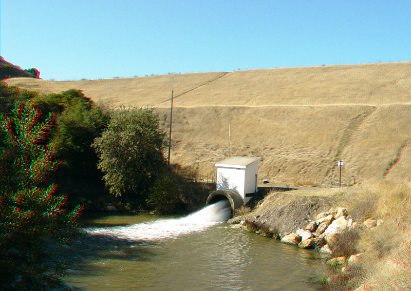
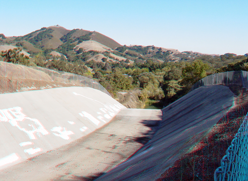
Outlet for Chesbro Dam
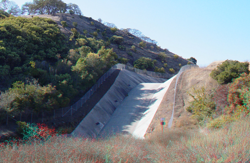
Chesbro Dam spillway
Chesbro Dam spillway
Chesbro Dam
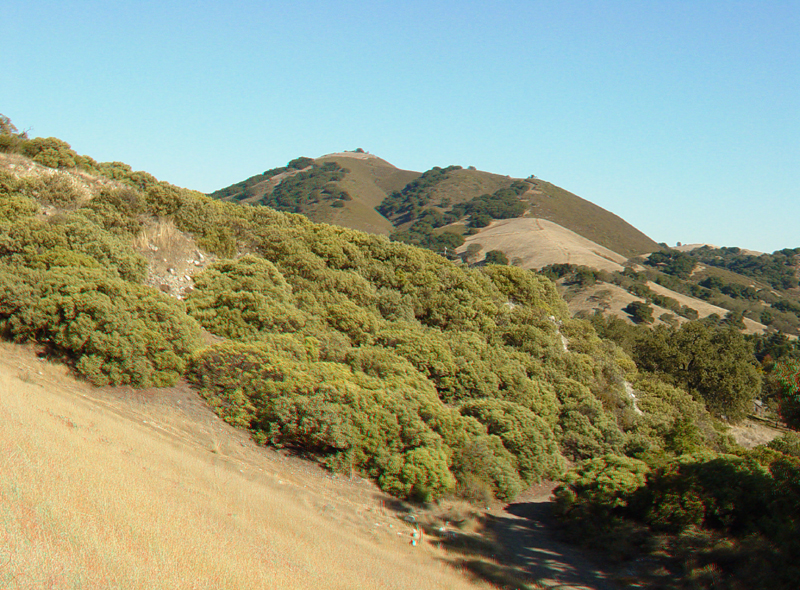
Manzanita growing on serpentinite near Chesbro Dam
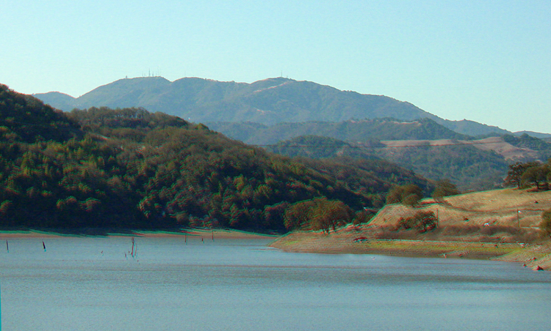
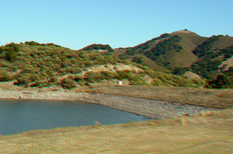
Chesbro Reservoir and Loma Prieta Peak in the distance
Chesbro Reservoir
Chesbro15.jpg
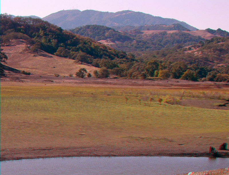
During low water, typically by the end of the summer, the upstream end of Chesbro Reservoir is an extensive mudflat with a meandering stream channel exposed.
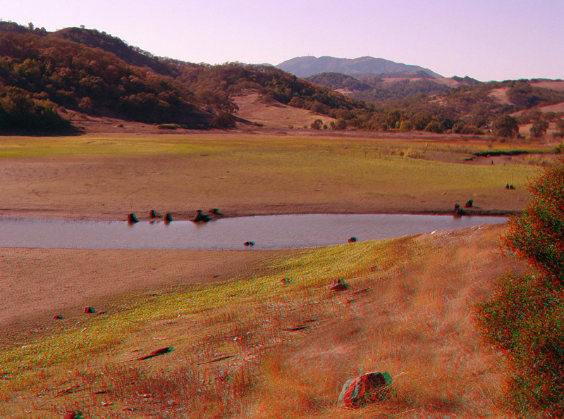
Chesbro Reservoir mudflats with Loma Prieta Peak in the distance.