Calero.jpg
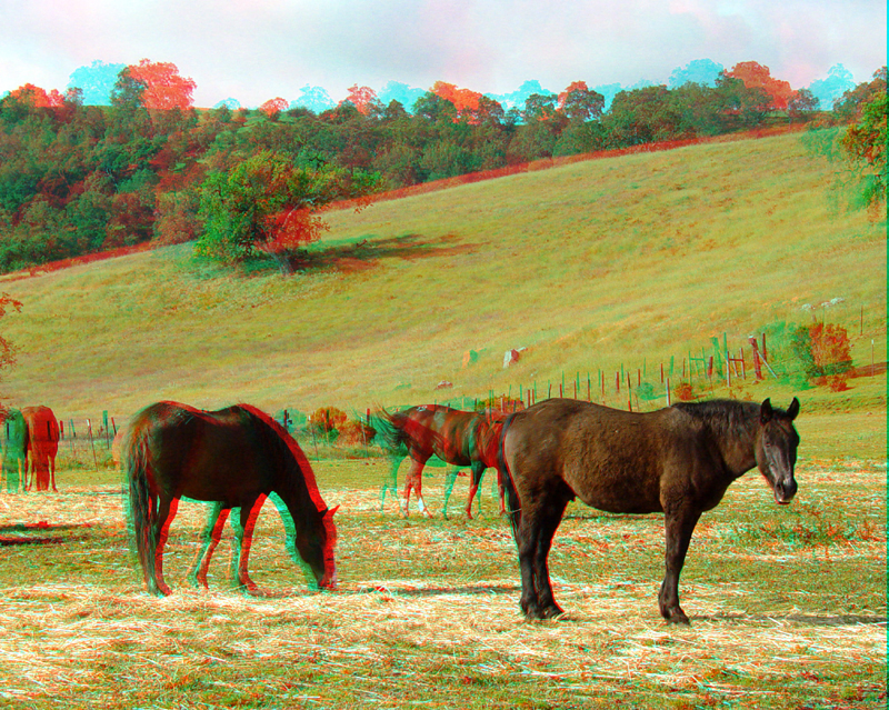
Calero Ranch is part of Calero Park, and is a horse farm. The park provides access trails for horseback riding and hiking.
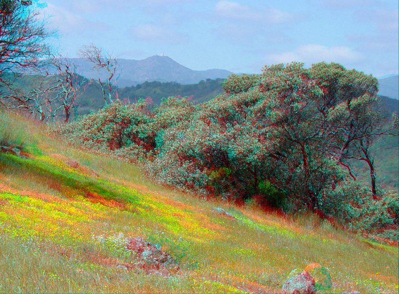
Much of Calero Park is dominated by serpentinite terrane, and therefore is host to many unique fauna and flora adapted to the high magnesium soils. Manzanita trees with their red bark and silver-green leaves dominate serpentinite areas. Mt. Umunhum and the Sierra Azul Ridge are in the distance (west).
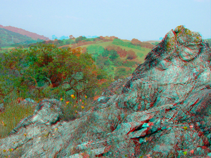
An example of a serpentinite outcrop in the upland hills of Calero Park. The low hills south and east of the Sierra Azul are collectively known as the Cinnabar Hills.
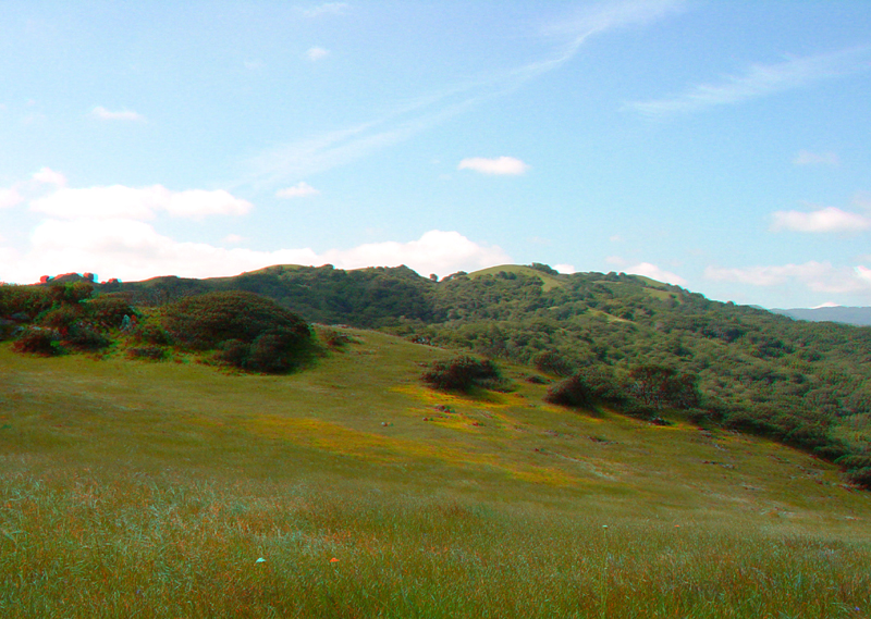
An upland grass-covered meadow in Calero Park looking west toward the "Bald Knobs," a large wilderness section recently added to the upland portion of Calero Park.
Calero5.jpg
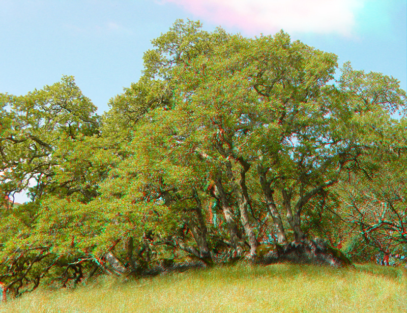
A unique oak tree along one of the upper trails in Calero Park.
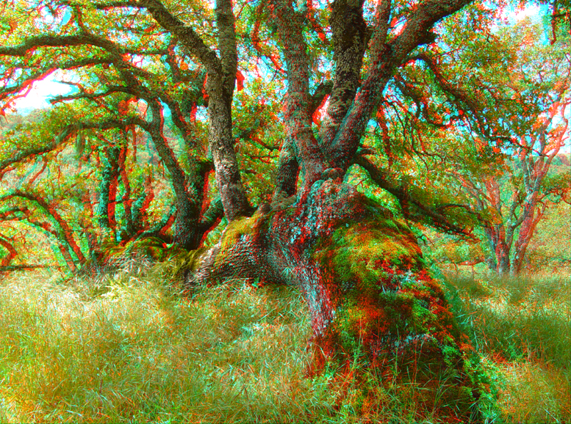
Another view of the oak tree showing how it has established a complex root system after having fallen over.
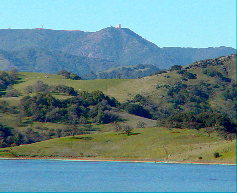
A zoom view looking west from the Calero Lake boat dock parking area across the Cinnabar Hills toward Mt. Umunhum (with the white blockhouse on top) in the distance.