Bald Mountain, Santa Clara County, CA
(San Francisco Bay Region 3D image tour)
Click on a small image to open a larger 3D image.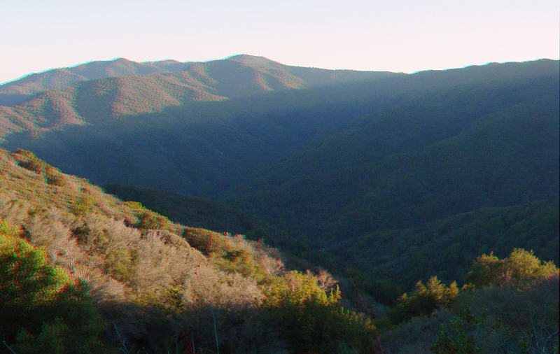 |
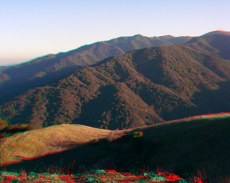
BaldMtn.jpg This view from the Bald Mountain access trail is looking south along the shaded valley east of Sierra Azul Ridge toward Loma Prieta Peak. |
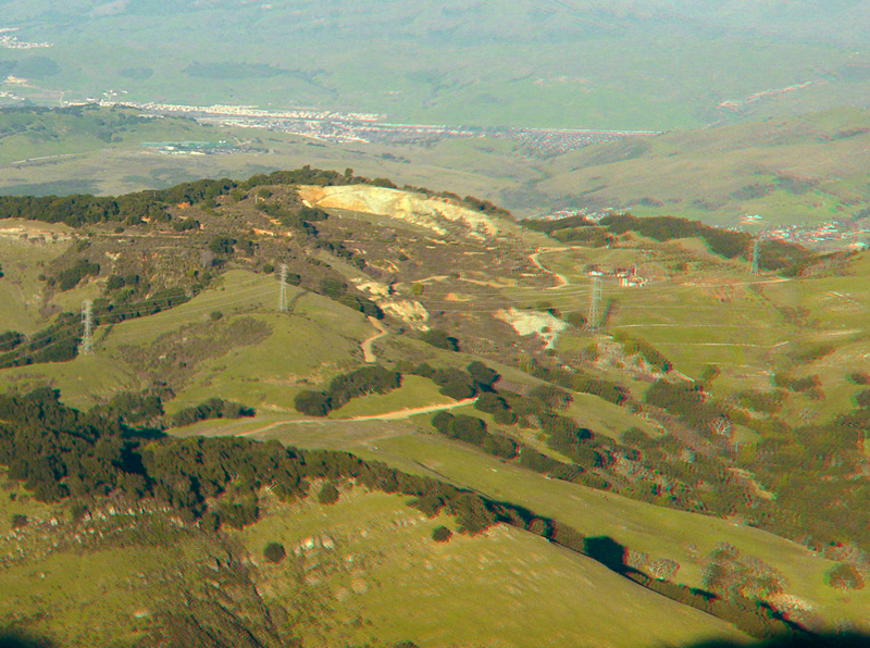 |
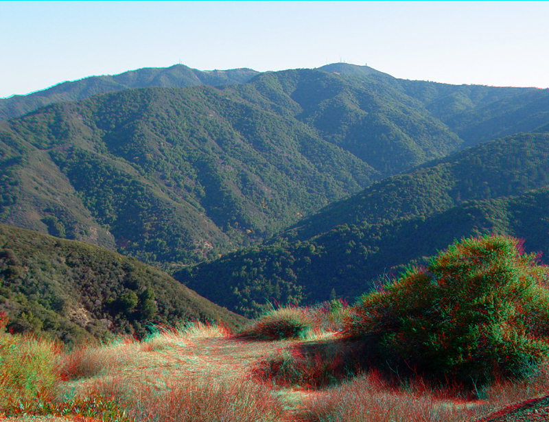
BaldMtn2.jpg
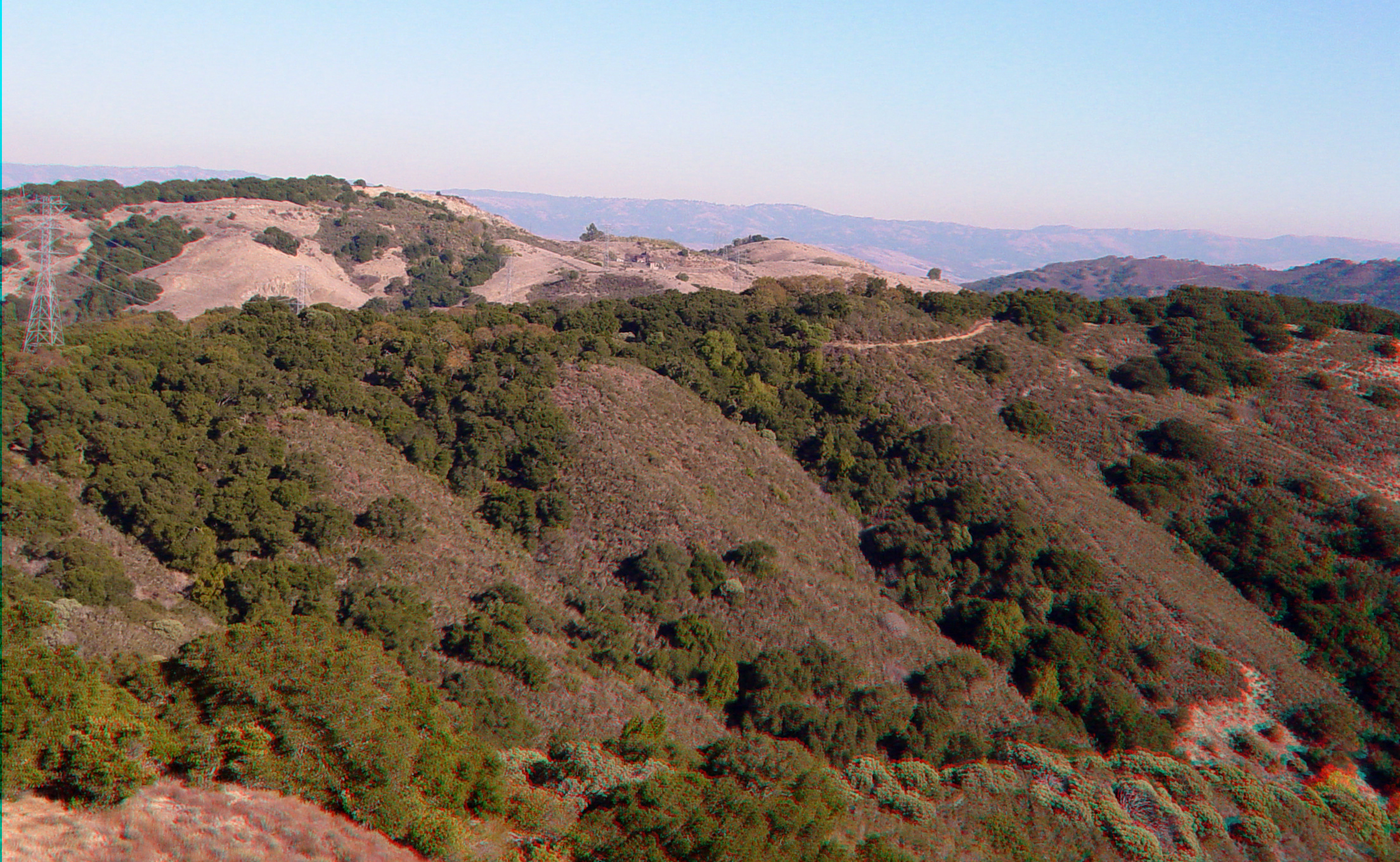
This view from the Bald Mountain overlook is looking east toward the summit of Mine Hill in Almaden-Quicksilver County Park in the vicinity of the San Chrystobal Mine entrance. |
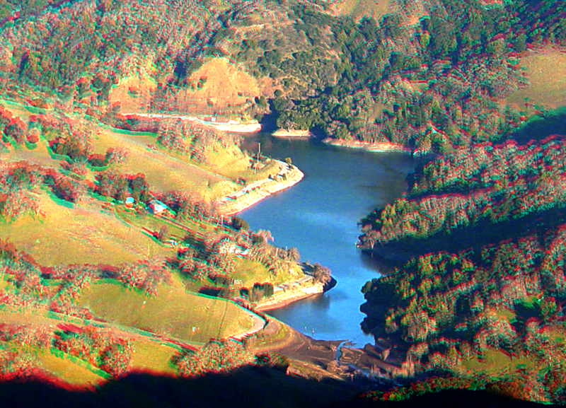 |
BaldMtn3.jpg
This view is of Guadalupe Reservoir south of Bald Mountain. |
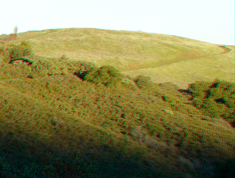 |
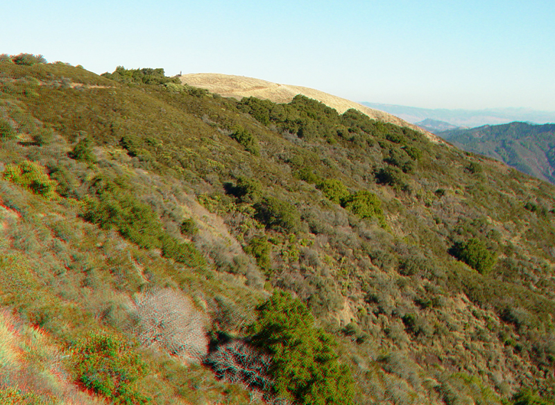
BaldMtn4.jpg
This view is looking south along the Bald Mountain access trail to the grassy bald area that give the mountain peak its name. |
 |
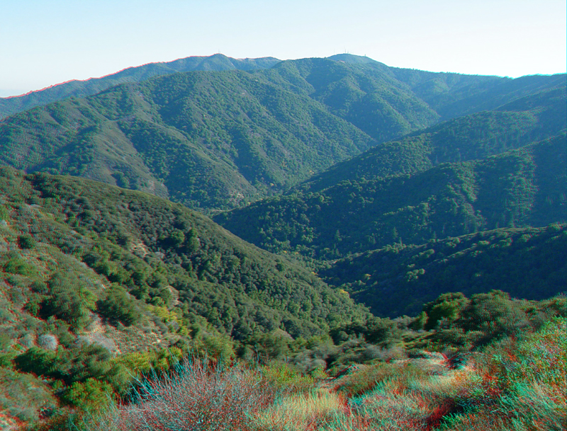
BaldMtn5.jpg This view is of the rugged eastern flank of Loma Prieta from the Bald Mountain overlook area. |
 |
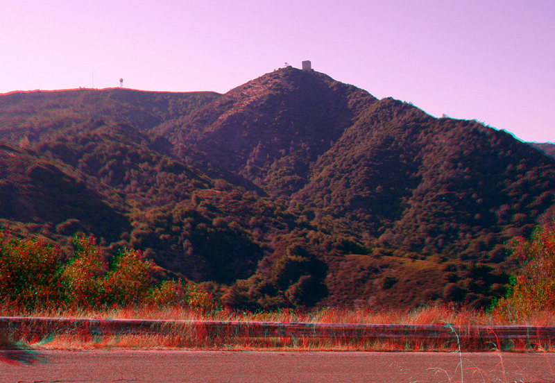
BaldMtn6.jpg
Loma Prieta Peak from the Bald Mountain trail head area on Mt. Umunhum Road. |
 |
BaldMtn8.jpg
Loma Prieta Peak from the Bald Mountain trail head area. |
 |
BaldMtn9.jpg
Bald Mountain from the trail head area on Mt. Umunhum Road. |
 |
BaldMtn10.jpg
Mt. Umunhum for the Bald Mountain trail head area on Mt. Umunhum Road. |
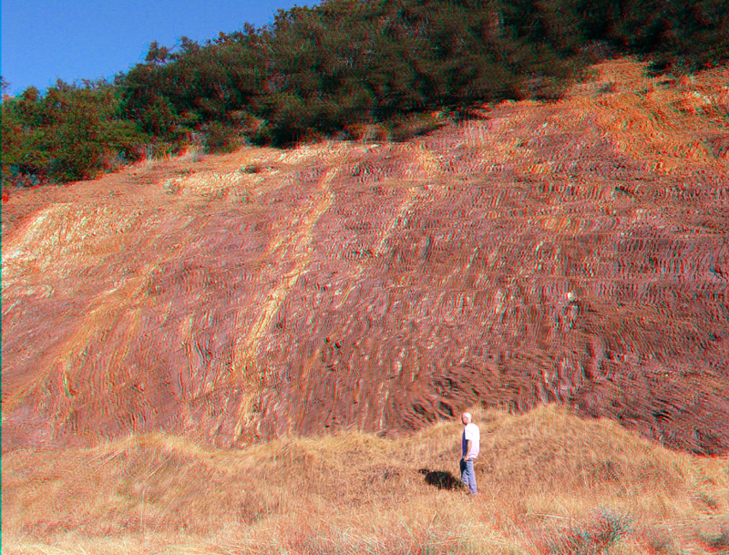 |
BaldMtn11.jpg
Jurassic ribbon chert along Mt. Umunhum Road on Bald Mountain. |
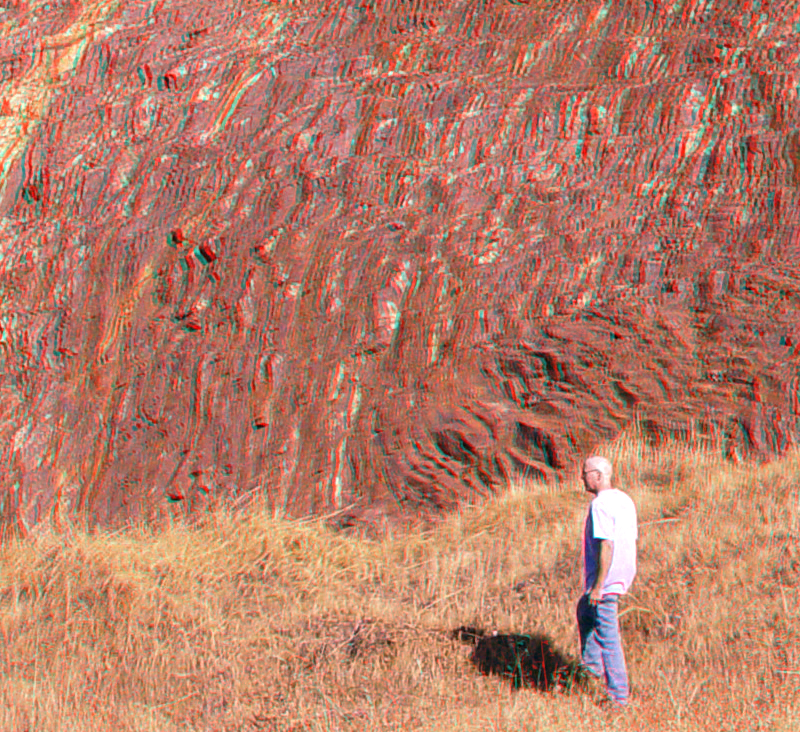 |
BaldMtn12.jpg
Jurassic ribbon chert along Mt. Umunhum Road on Bald Mountain. |
 |
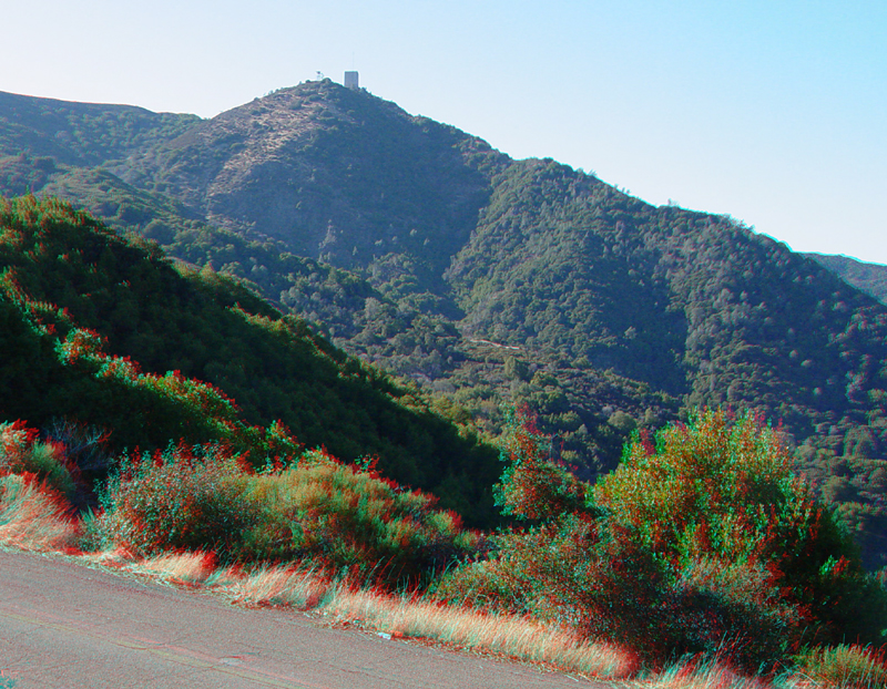
BaldMtn13.jpg
Mt. Umunhum from along Mt. Umunhum Road. |
 |
BaldMtn14.jpg
Mt. Umunhum from along Mt. Umunhum Road. |
 |
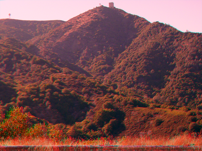
BaldMtn15.jpg the top of Mine Hill as seen from along Mt. Umunhum Road. |
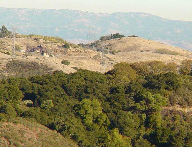 |
BaldMtn16.jpg
The summit of Mine Hill in Almaden-Quicksilver County Park in the vicinity of the San Chrystobal Mine as seen from along Mt. Umunhum Road. |
|
The URL of this website is: https://gotbooks.miracosta.edu/gonp/3Dbayarea/BaldMountain.htm> Last modified 11/24/2003 |