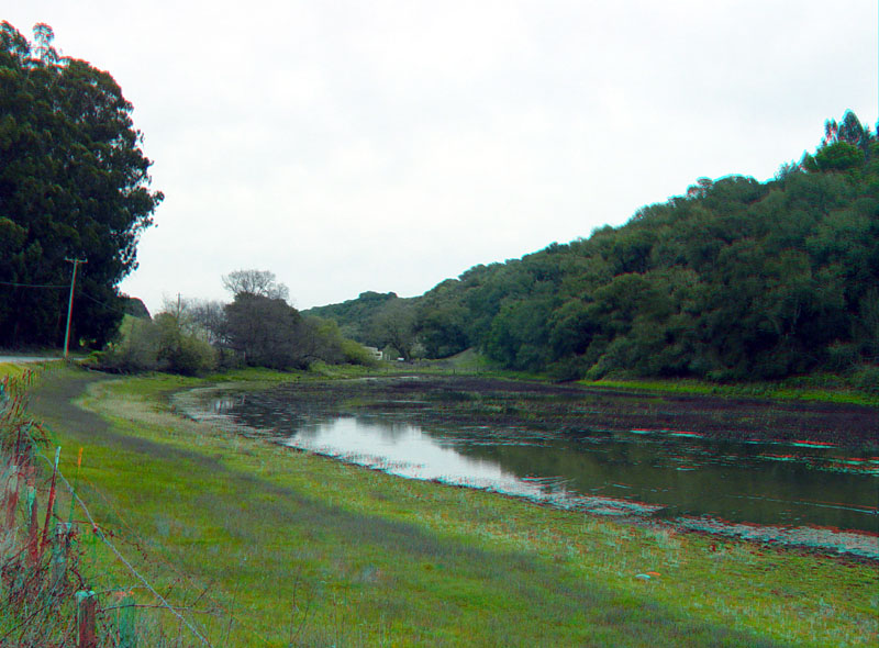
AnzarRoad.jpg
Anzar Road follows the trace of the San Andreas Fault through the southern Santa Cruz Mountains near Pajaro Gap. This sag pond formed adjacent to an uplifted block of granitic rock (forming the hillside on the opposite side of the pond).
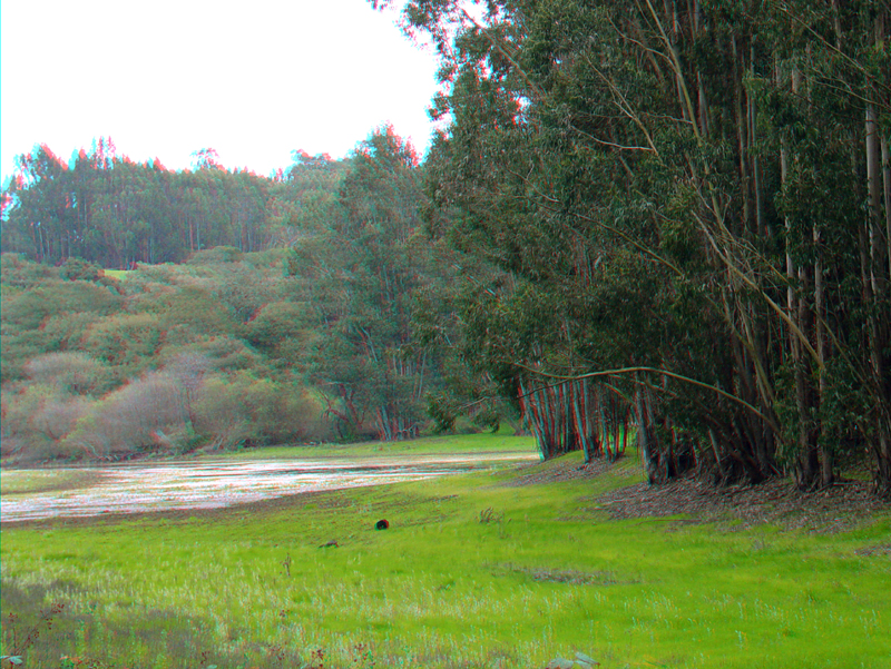
A grove of eucalyptus trees grows along the shore of the sag pond above the high water line. This picture was taken a short distance north of the previous image. The steep slope in the distance is the west side of the San Andreas rift valley in this area.